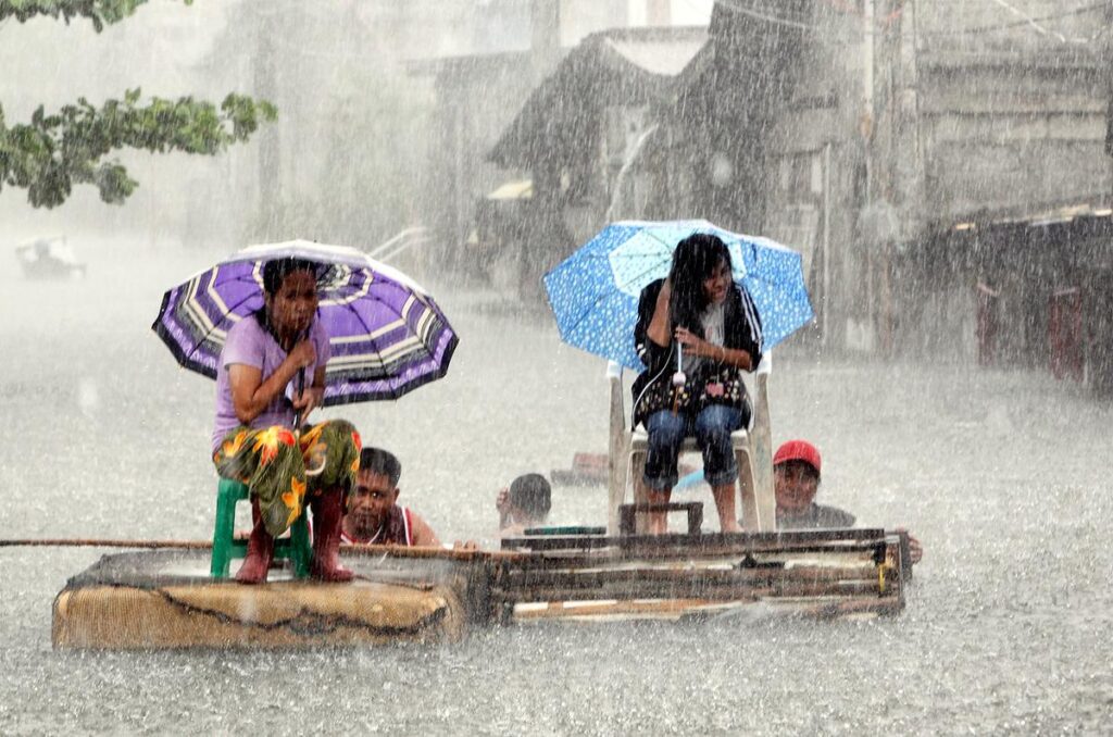
MANILA ᅳ Metro Manila may experience heavy rains on Monday, July 22, coinciding with President Ferdinand Marcos Jr.’s third State of the Nation Address (SONA). According to an advisory from the state weather agency PAGASA on Sunday morning, the southwest monsoon or habagat, intensified by Tropical Storm Carina, is expected to bring significant rainfall to the region.
Marcos is set to deliver his SONA from the Batasang Pambansa Complex in Batasan Hills, Quezon City. In addition to the weather concerns, hundreds of protesters are anticipated to gather in the vicinity.
Heavy Rainfall Forecast
PAGASA has issued a detailed forecast for the coming days:
Sunday: Moderate to heavy rains are anticipated in Zambales, Bataan, and the Kalayaan Islands.
Monday (SONA Day): Metro Manila, Ilocos Norte, Ilocos Sur, Abra, Pampanga, Bulacan, Rizal, Cavite, Batangas, and the Calamian Islands can expect moderate to occasionally heavy rains. La Union, Pangasinan, Benguet, Zambales, Bataan, and Occidental Mindoro may experience heavy to intense rainfall.
Tuesday: The heavy to intense rains are likely to persist in La Union, Pangasinan, Benguet, Zambales, Bataan, and Occidental Mindoro. Moderate to heavy rains could also continue in Metro Manila, Ilocos Norte, Ilocos Sur, Apayao, Abra, Pampanga, Bulacan, Rizal, Cavite, Laguna, Batangas, and the Calamian Islands.
The weather bureau has cautioned that areas experiencing heavy rainfall are at risk of floods and landslides.
Tropical Storm Carina Slightly Intensifies
In its 11 a.m. advisory, PAGASA reported that Tropical Storm Carina has slightly intensified over the Philippine Sea, now packing winds of 85 kilometers per hour near the center and gustiness of up to 115 kph.
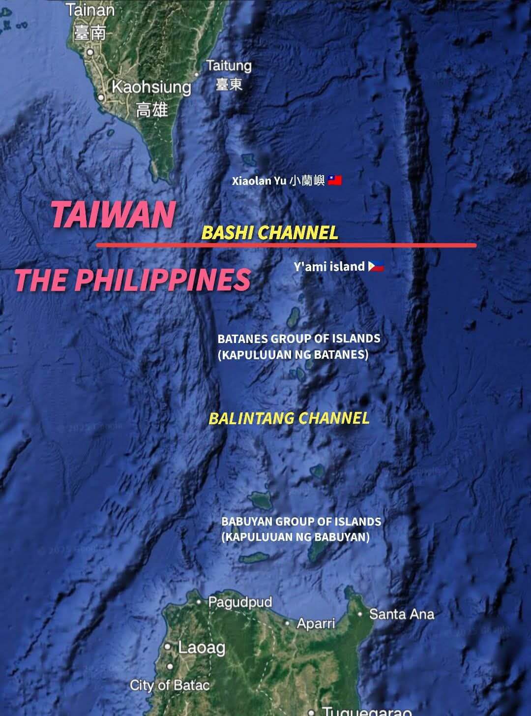
Residents of mainland Cagayan and the Babuyan Islands are advised to prepare for heavy rainfall from Sunday through Monday noon, potentially extending until Tuesday. Additionally, Batanes may see heavy rains from Monday, expected to last until Wednesday.
Rapid Intensification Likely
PAGASA forecasts that Tropical Storm Carina will remain distant from the landmass, likely exiting the Philippine area of responsibility by Wednesday night or early Thursday morning. The storm is expected to “steadily intensify” over the next four days due to favorable environmental conditions.
“It is forecast to become a severe tropical storm by tonight and reach typhoon category by tomorrow evening. Rapid intensification within the forecast period is possible,” the agency stated.
Stay updated with the latest weather advisories from PAGASA and ensure necessary precautions are taken to stay safe during these weather disturbances.
Keywords: Metro Manila weather, heavy rains, Marcos SONA, Tropical Storm Carina, PAGASA weather update, Philippines weather forecast, state of the nation address weather, Southwest Monsoon, Habagat, rainfall forecast.


