The Philippines is again counting the costs of extreme weather, and Typhoon Tino is the latest reminder of how vulnerable many communities remain. Internationally known as Kalmaegi, the system entered the Philippine Area of Responsibility (PAR) on November 2 and intensified before crossing parts of the Visayas on November 4, bringing destructive winds, torrential rain, and coastal flooding.
Where and how Typhoon Tino struck
PAGASA reported that Typhoon Tino strengthened to typhoon category as it moved west across the central islands, with sustained winds near 150 kph and gusts up to 205 kph at its peak. Large swathes of Eastern and Central Visayas: Southern Leyte, Leyte, Samar provinces, northern and central Cebu faced hours of heavy rain and damaging winds. Parts of northern Mindanao and Bicol also experienced flooding due to the combined effect of the cyclone and a shear line.
Officials confirmed at least one fatality as of November 4, along with widespread flooding that submerged several neighborhoods in Cebu and nearby cities. Pre-emptive evacuations reached hundreds of thousands nationwide, according to disaster agencies, limiting casualties but straining shelters such as schools and gymnasiums.
The aftermath of Typhoon Tino: transport, power, and schools
Travel disruptions were extensive. Airlines canceled numerous flights on November 3 and 4, while ferry operations were suspended in many ports. Several airports experienced delays as winds and rain intensified. Local governments suspended classes and work in areas under raised Signal Warnings. Power outages were reported in multiple provinces after toppled trees and wind damage to electric lines.
Along the coast, PAGASA warned of “life-threatening” storm surges that could reach three meters in the most exposed bays. Communities on eastern and central seaboards imposed no-go zones on beaches and river mouths, while rescue teams remained on alert for flash floods and landslides.
Recovery and what lies ahead after Typhoon Tino
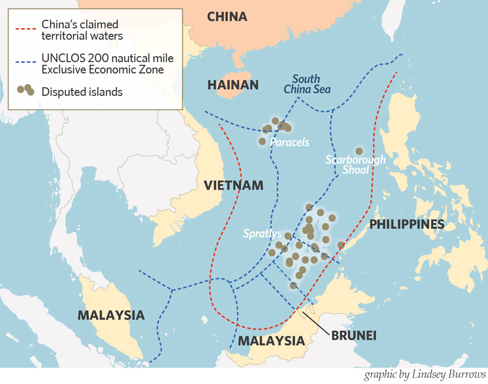
Forecasts show Kalmaegi exiting the PAR over the West Philippine Sea by late November 5 or early November 6, before moving toward mainland Southeast Asia. Even after it leaves, trailing rainbands may still trigger landslides and renewed flooding, especially during high tides. Local governments are now focusing on clearing debris, assessing damage, and restoring power and water systems.
Residents are urged to stay cautious—boil water where supply is uncertain, avoid floodwater, check electrical wiring before reconnecting, and follow LGU advisories on returning home. Farmers and fisherfolk are being advised to coordinate with local offices on damage reports and the timing of safe return to fields and fishing grounds. Travelers should expect rolling flight and ferry advisories through mid-week.
One lingering concern after Typhoon Tino is the short-term rise in prices of fish, vegetables, and construction materials in affected areas until supply routes reopen. Authorities from the DA and DTI have started monitoring markets to prevent overpricing while logistics normalize.


